The West Bank covers about 5,600 square kilometres, roughly 130 km from north to south and up to 60 km from east to west. It lies between the Jordan River and the 1949 armistice line, and has been under Israeli military control since 1967. It is home to about three million Palestinians and, in Israeli settlements, about half a million Israelis, which are considered illegal under international law by most of the world, though Israel disputes this.
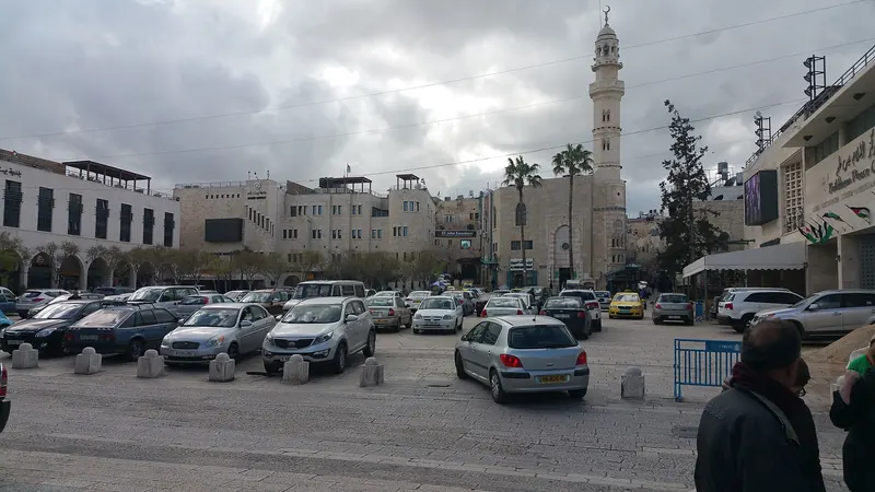
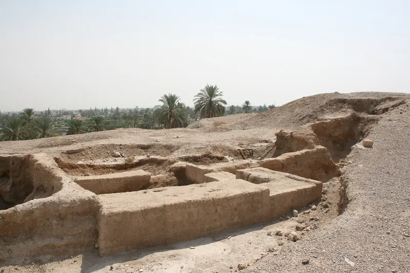
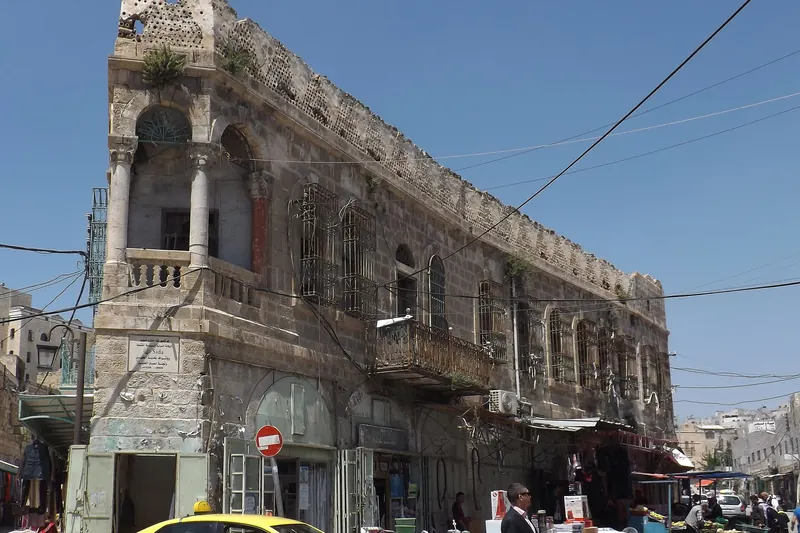
Under the Oslo Accords, the territory was divided into Areas A, B and C. Palestinian cities, including Bethlehem, Ramallah, Nablus, Jericho and much of Hebron, are in Area A. The countryside, the Jordan Valley and the land around the settlements are largely in Area C. In practice, this means Israeli checkpoints and roads, restrictions on movement for Palestinians, and separate systems for settlers and residents.
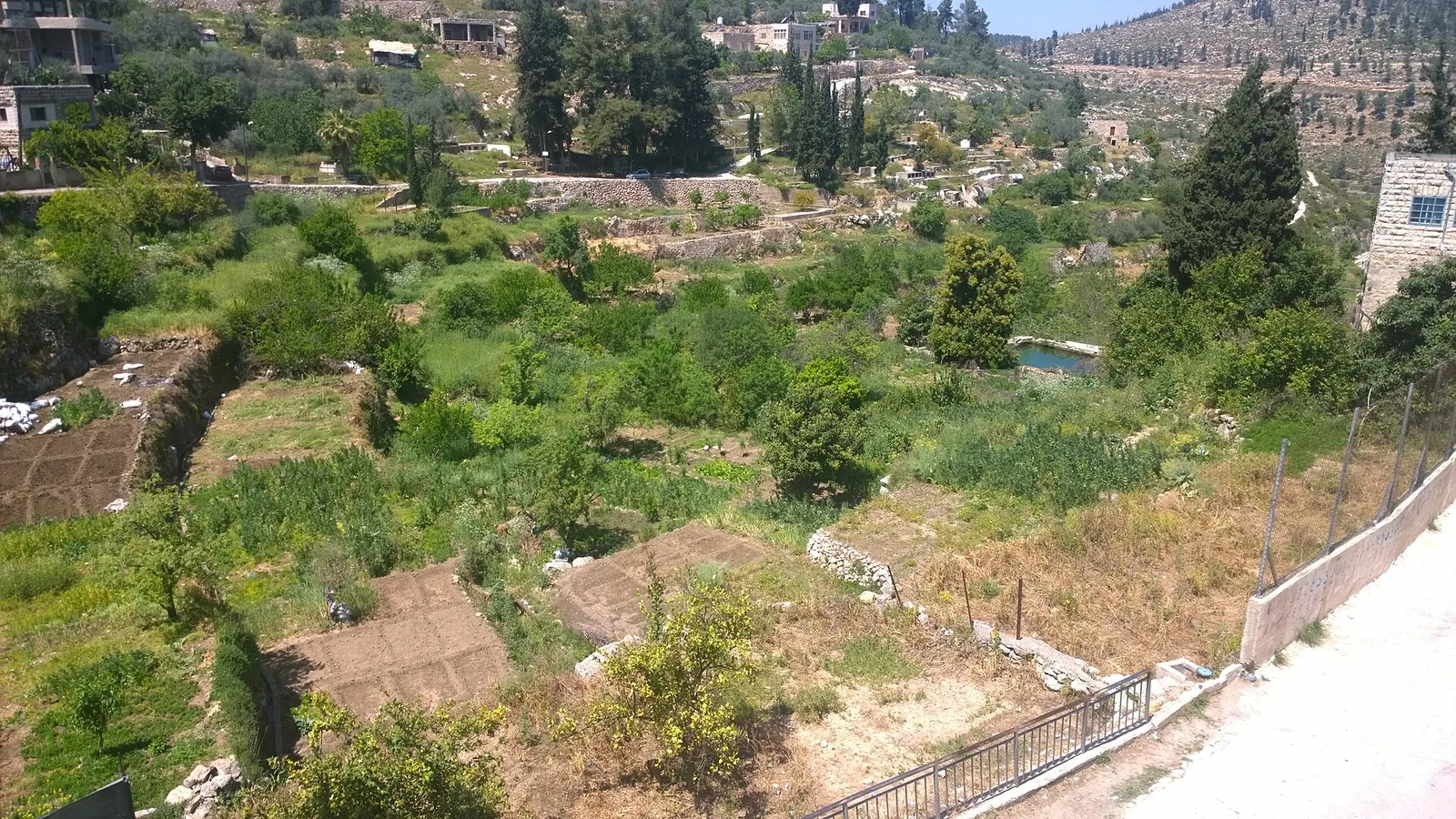
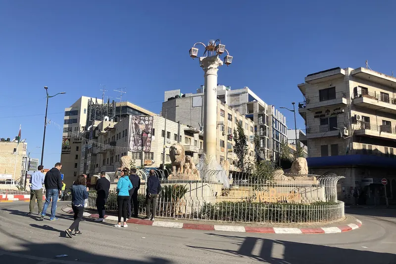
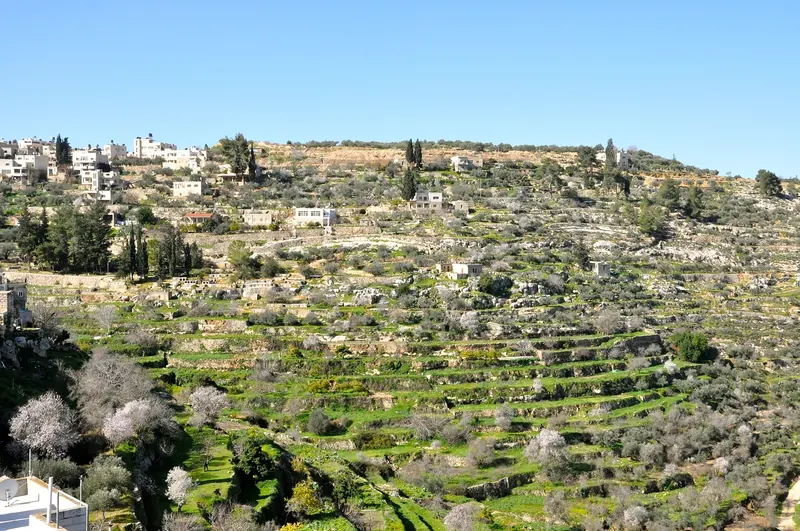
For visitors, the result is a landscape of contrasts: welcoming towns and villages, roads with different rules for different drivers, checkpoints of varying strictness, and a separation barrier that runs along and through parts of the territory. Visitors with foreign passports have much more freedom than Palestinians, but conditions still vary from day to day.
It helps to travel with an open mind, accept that journeys are uncertain, and listen to people's own accounts of what they experience.