Lebanon is about 210 km from north to south and 45 to 80 km wide, and it is made up of four parallel strips: the coastal plain, the Mount Lebanon range, the Bekaa Valley and the Anti-Lebanon range along the Syrian border. Almost everything visitors see falls into one of five regions.
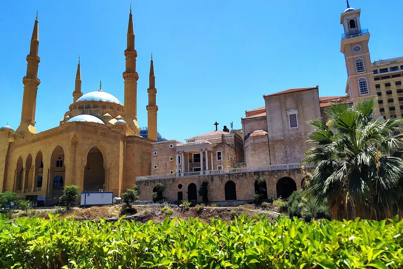
Beirut and its surroundings. The capital, Beirut, is a dense, lively and scarred city that is the base for most trips. To the north of it, Jeita Grotto and Harissa are easy half-day trips.
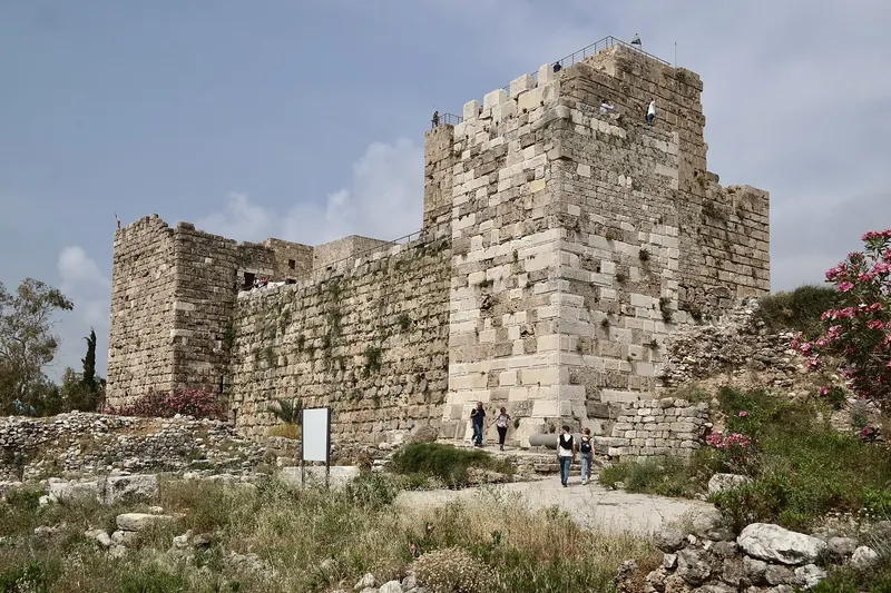
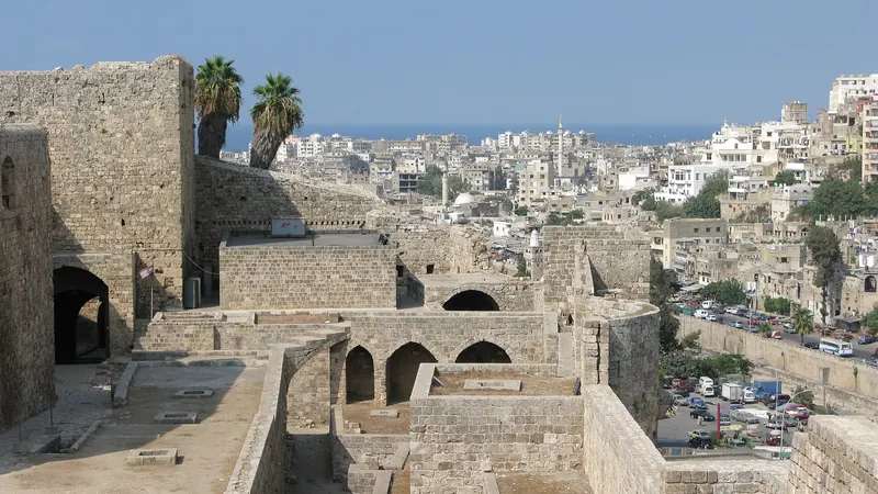
The north coast. Byblos and Batroun are small coastal towns with Phoenician and Crusader remains, and beaches and restaurants. Further north, Tripoli is the country's second city, with a well-preserved Mamluk old town.
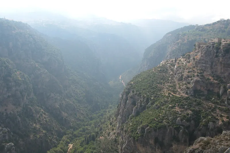
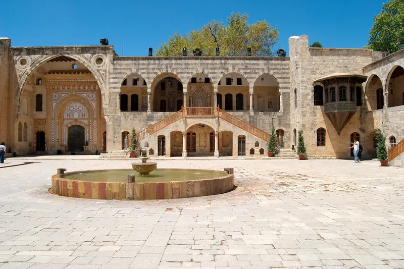
Mount Lebanon. The mountains behind the coast hold the Qadisha Valley and the Cedars in the north, and the Chouf, with Beiteddine Palace, Deir al-Qamar and the Chouf Cedar Reserve, in the south.
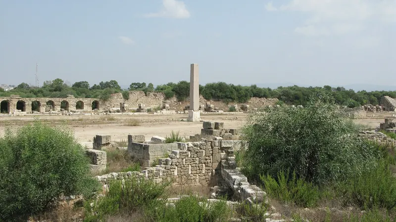
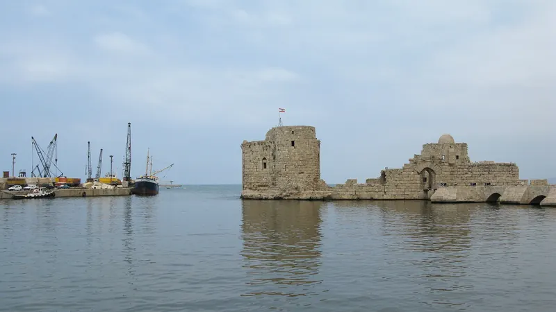
The south. Sidon and Tyre are ancient Phoenician ports with Crusader and Roman remains. This is the area closest to the Israeli border, and the one where advice has been strictest since 2023.
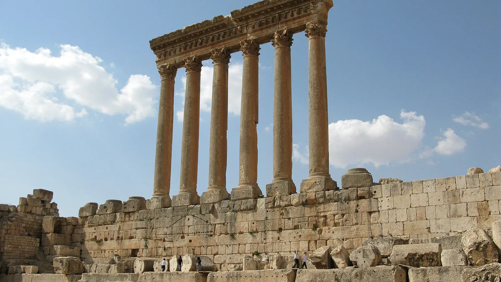
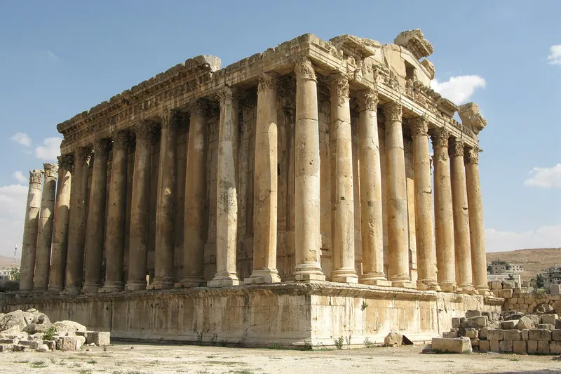
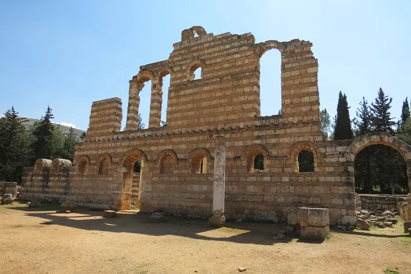
The Bekaa Valley. A high, fertile plain between two mountain ranges, with the temples of Baalbek, the Umayyad city of Anjar and most of Lebanon's vineyards. Parts of the valley near the Syrian border have been affected by strikes.