Jordan is a narrow country of about 90,000 square kilometres, and three roads shape almost every trip: the Desert Highway, the King's Highway and the Jordan Valley road. Understanding them explains why a week is enough.
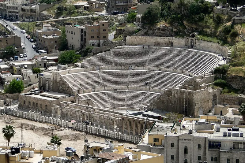
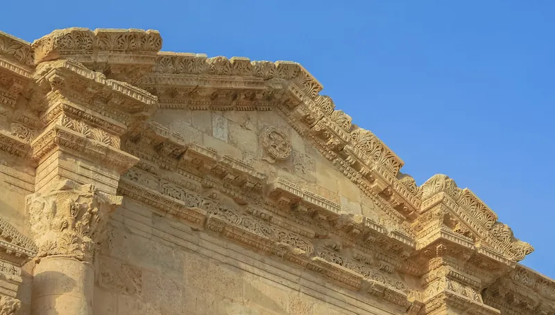
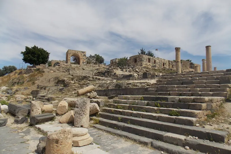
Amman and the north. The capital, Amman, is a sprawling hill city of around four million people, with a Roman theatre and a citadel at its core. Within an hour or two are Jerash, the most complete Roman provincial city in the region, and the castle of Ajloun and the hilltop ruins of Umm Qais, covered together as Ajloun and Umm Qais.
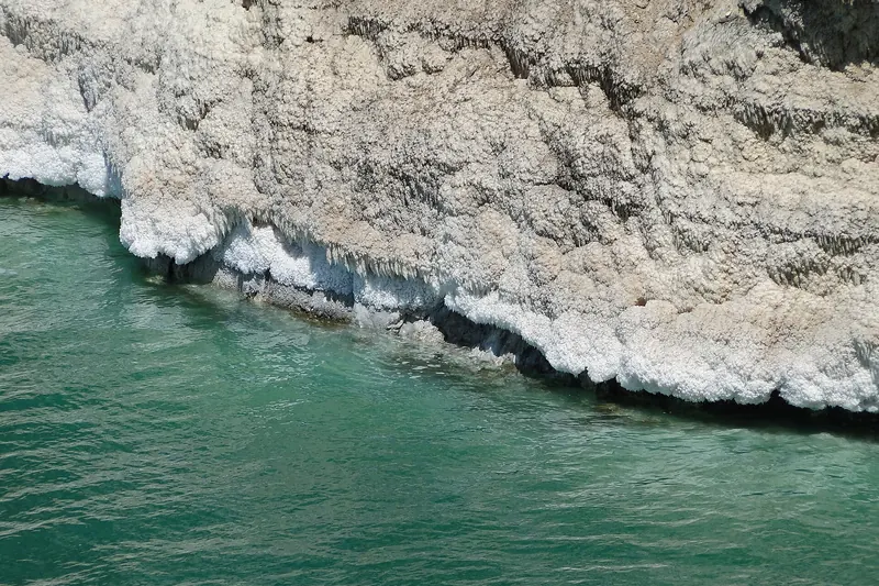
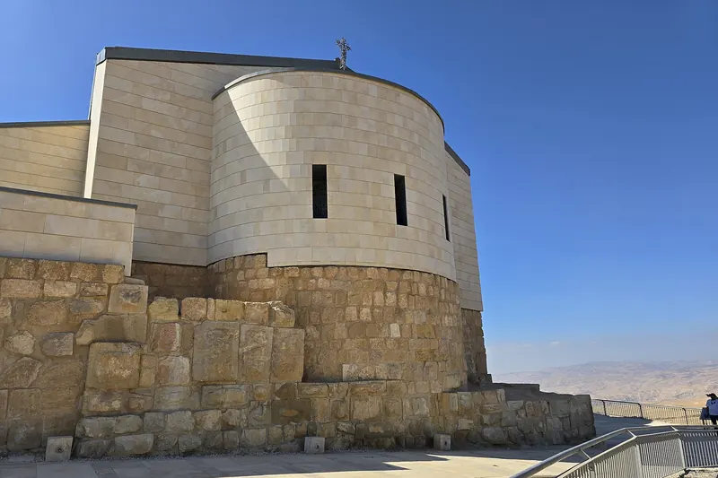
The Dead Sea and the west. A short drive south-west of Amman the land drops to about 430 m below sea level at the Dead Sea, with the Baptism Site at Bethany, the canyon of Wadi Mujib and salt-water swimming. Madaba and Mount Nebo, with its Byzantine mosaics and the Moses memorial, sit on the plateau above.
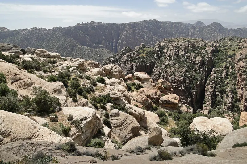
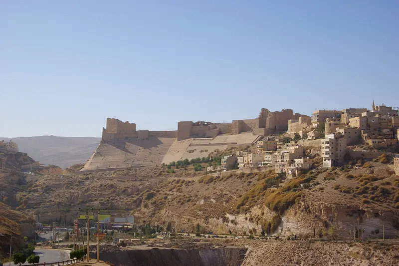
The King's Highway. An ancient road running along the top of the escarpment from Madaba south to Petra. It passes Kerak and Shobak, the two great Crusader castles, and the reserve of Dana. It is slower than the Desert Highway and far more interesting.
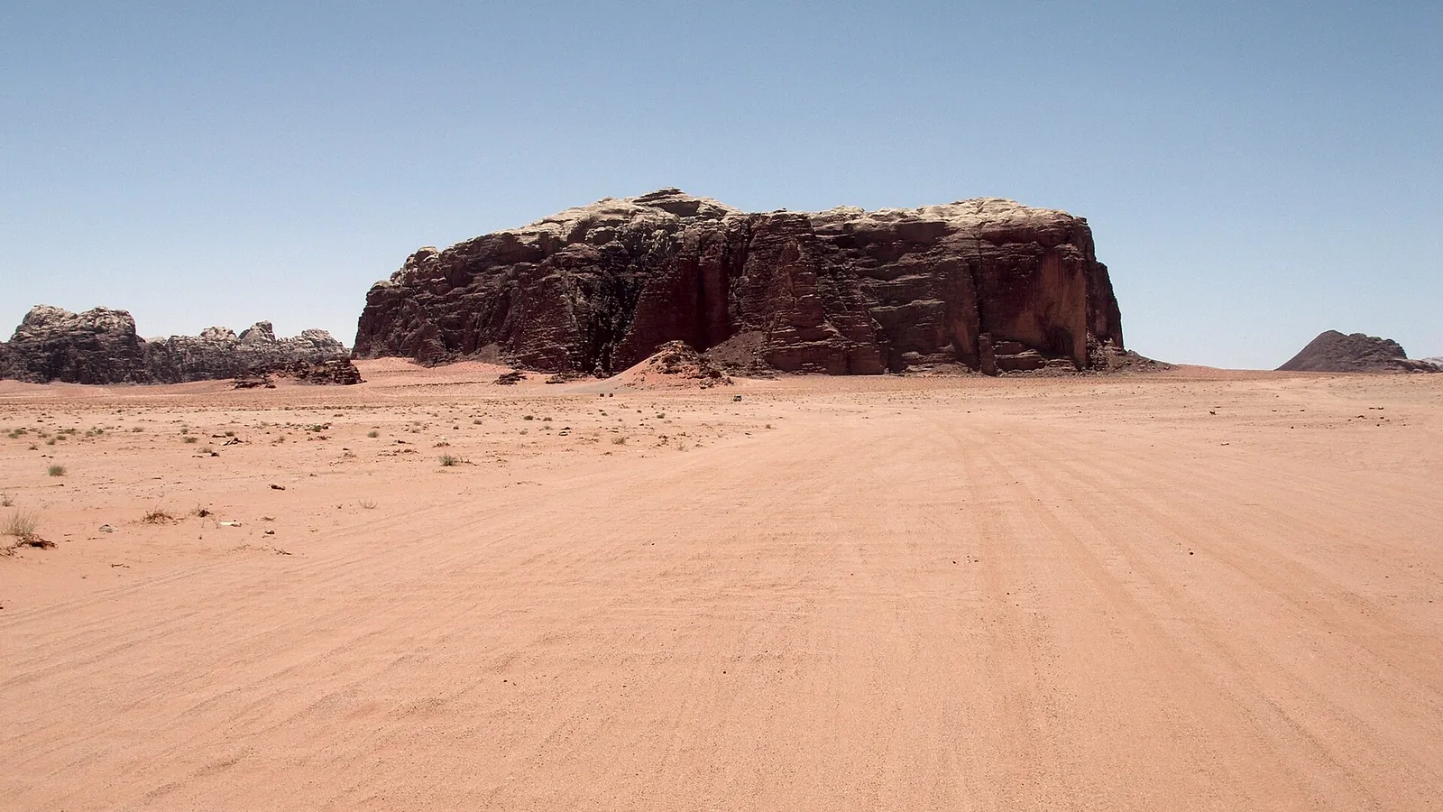
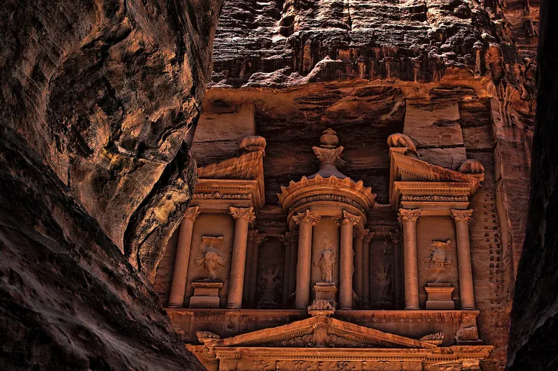
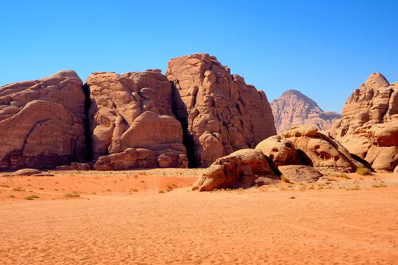
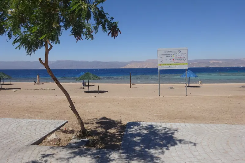
The south. Petra is the country's headline site, and Wadi Rum is a sandstone desert about an hour and a half south of it. Aqaba, on the Red Sea, is the endpoint for most itineraries and a good place to swim and dive.
The east and north-east. Most of Jordan's land area is desert, with a handful of remote Umayyad desert castles that some visitors add. They are outside the scope of this guide, and the security situation along the eastern border should be checked before you consider them.